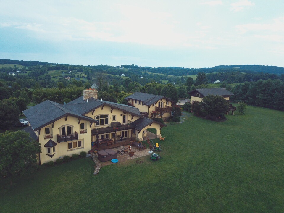
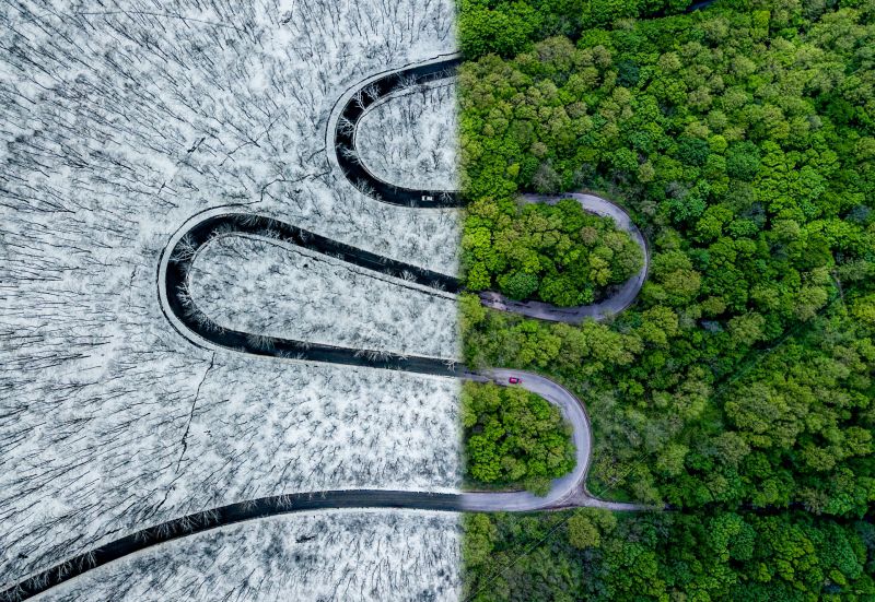
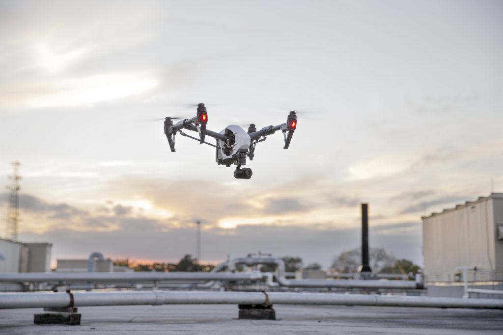
UAV systems provide a unique perspective on our clients projects. In addition to this drones allow access to locations that may be in remote or dangerous locations, and therefore inaccessible under normal circumstances.
mapping
Many satellite imaging services are outdated and provide limited quality and therefore limited usefulness for most clients. Orthomosaic maps we create have many possibilities including identifying gradients and plant health to interactive 3-D models.
inspection
Large buildings and structures require inspections which are inherently time consuming, often dangerous, and always costly. As a result our clients look for our services to provide a solutions to all three of these issues.